Step 2_ ALONG THE LOS CAÑOS ROUTE TO THE RIBERA MARKET
 Route 2 km
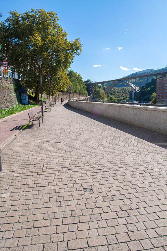
To get back to the historic centre of Bilbao, we suggest a walk along this romantic path, which carried the aqueduct supplying water to Bilbao from 1523 until it was closed in 1933.
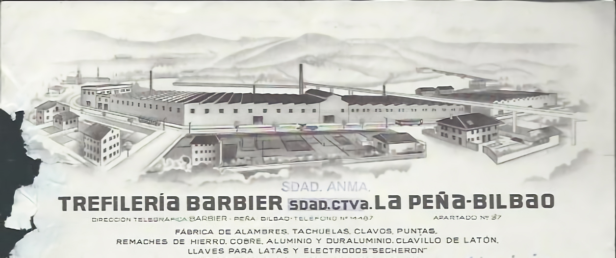
Along the way, it is possible to imagine the rushing water where the river narrows and swirls, and the human ingenuity that used mills to convert the water into a driving force for the pre-industrial businesses of the city (mills, foundries, fulling mills and glass and textile factories). Interestingly, neither this area nor the pre-industrial sectors located here played any part in the industrialisation of Bilbao and its surroundings. The descendants of the owners of one of the many mills that were located here -La Magdalena - were the founders of Harino Panadera (visited on this walk) and Galletas Artiach (Walk 2).
Even if the industrialisation of Bilbao began here, neither this area nor the pre-industrial sectors located here played any part in the posterior development of the city and its surroundings
From yesterday to today


Industries in the memory


The mining past


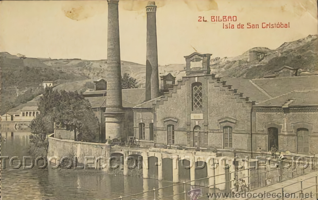
The island of San Cristóbal


Above this walk were the mines of El Morro Mine (curiously, the only profitable mine on the right bank of the river) while opposite were those of Ollargan, part of whose wash houses can be seen in old photos of El Pontón. Further on, this walk explores some of the installations of other mines in the neighbourhood of Miribilla as the third largest mining district of this area.
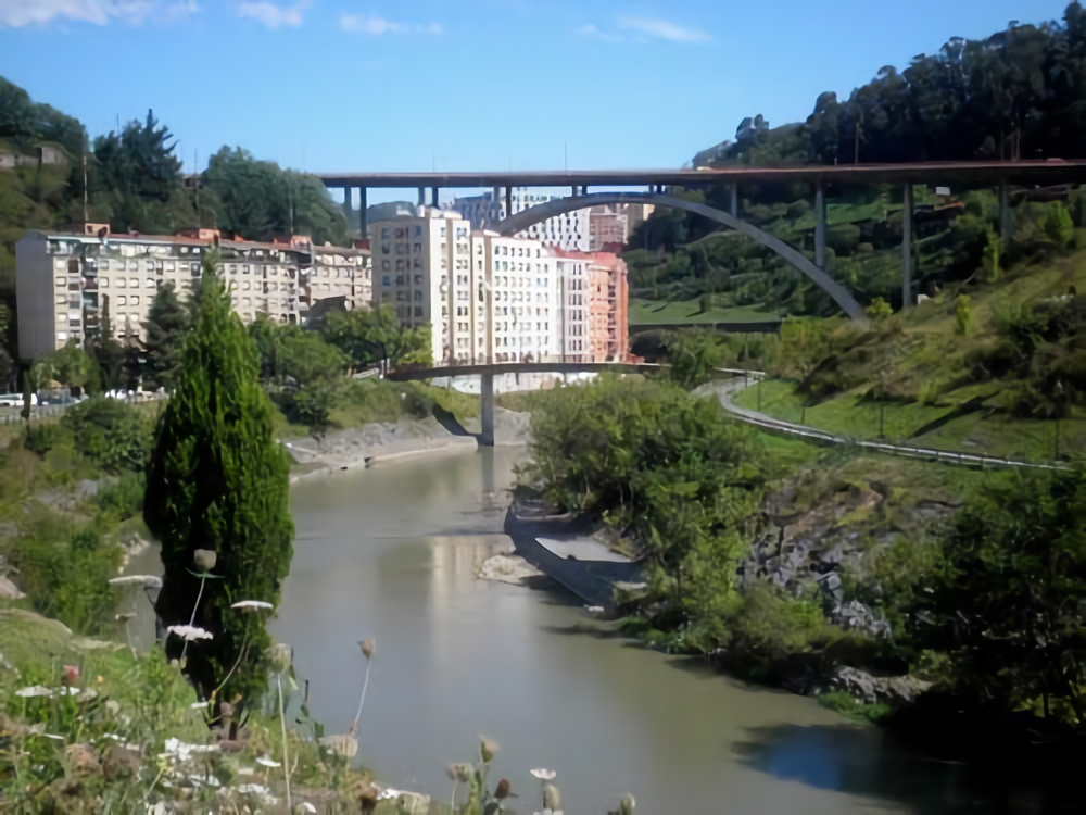
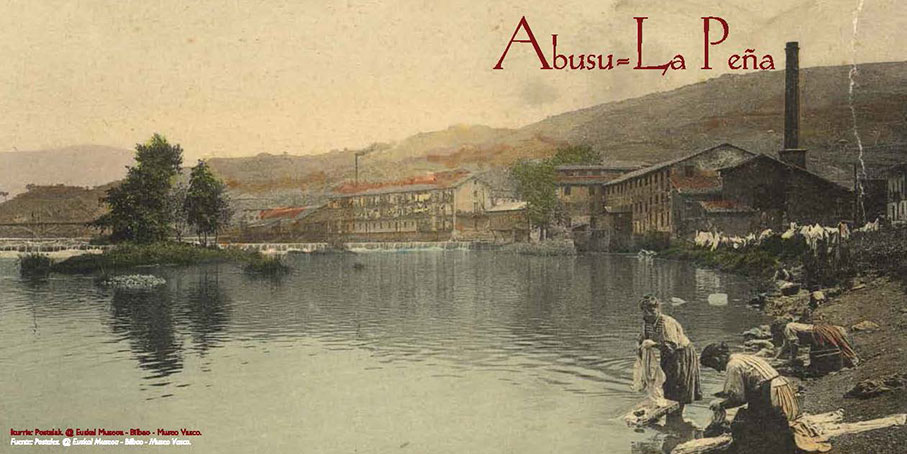
On the opposite bank you have a view of the La Peña/Abusu area (Spanish/Basque) that in its current state is the result of developmentalist architecture designed to accommodate the waves of immigrants who arrived in the 1950s and 1960s to meet the demand for industrial labour. As in this neighbourhood, they generally settled in areas that had been sparsely used until then.
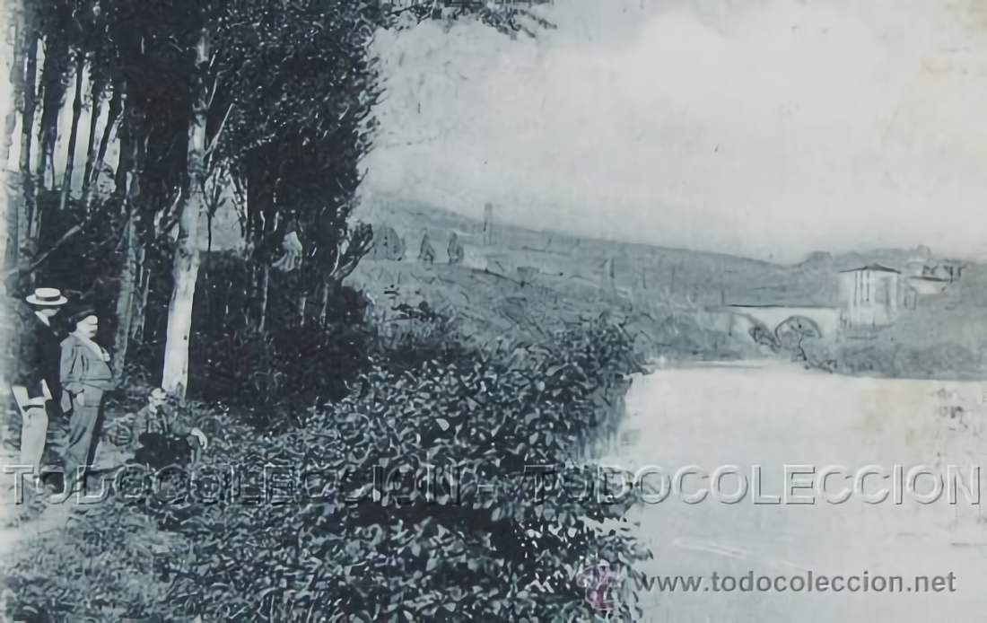
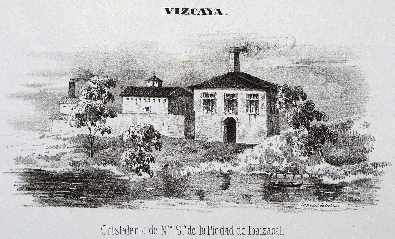
At the first curve of the river was the island of San Cristóbal, where originally there were tanneries, which were then replaced by a pumping station and a small hydroelectric power station.
At the end of this section there are some panels explaining the history of this part of the river.
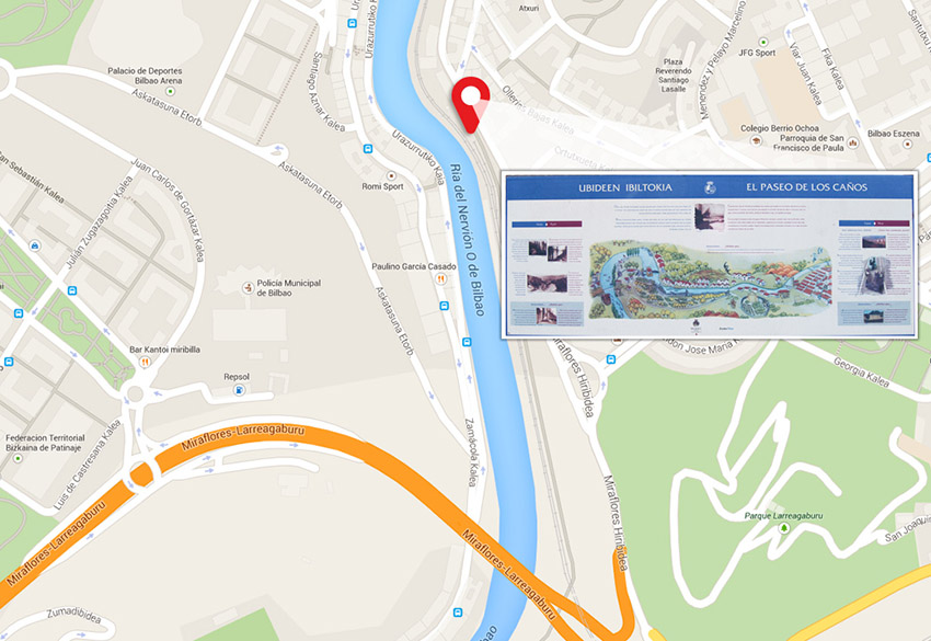
Panels (location)
")
Panels (translation)
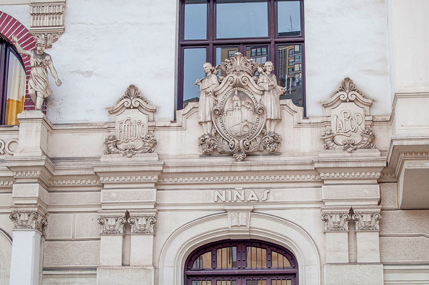
At the end of this walk you will see the old Ollerías school (2). They were conceived as a hostel and public laundry. Designed by Pedro Ispizua in 1922, it is a model of regionalist architecture. At the bottom of the hill there are two even more striking examples of the most famous architects of this era: Ispizua himself (García Rivero school) and Manuel Mª de Smith (Atxuri Station).
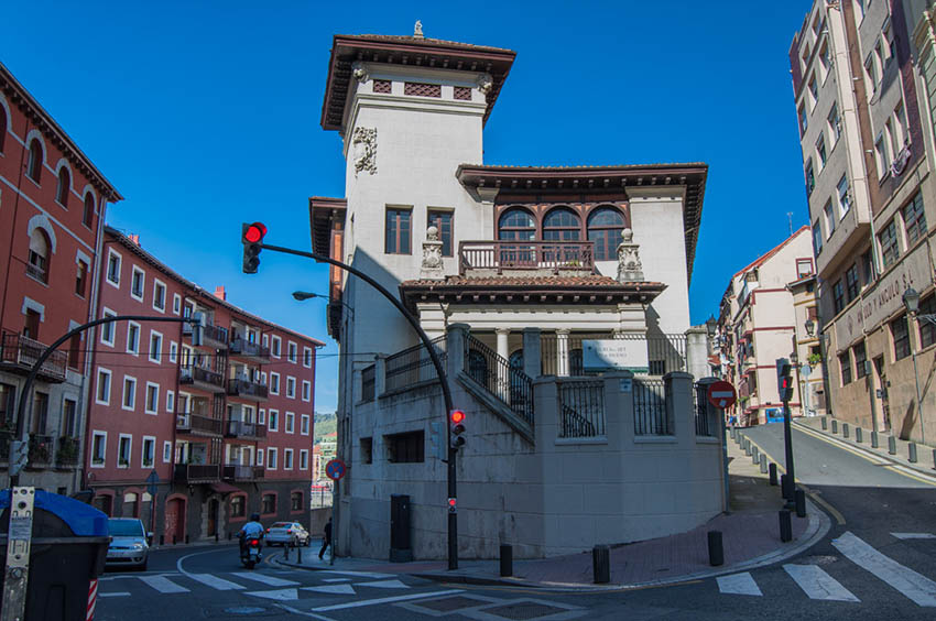
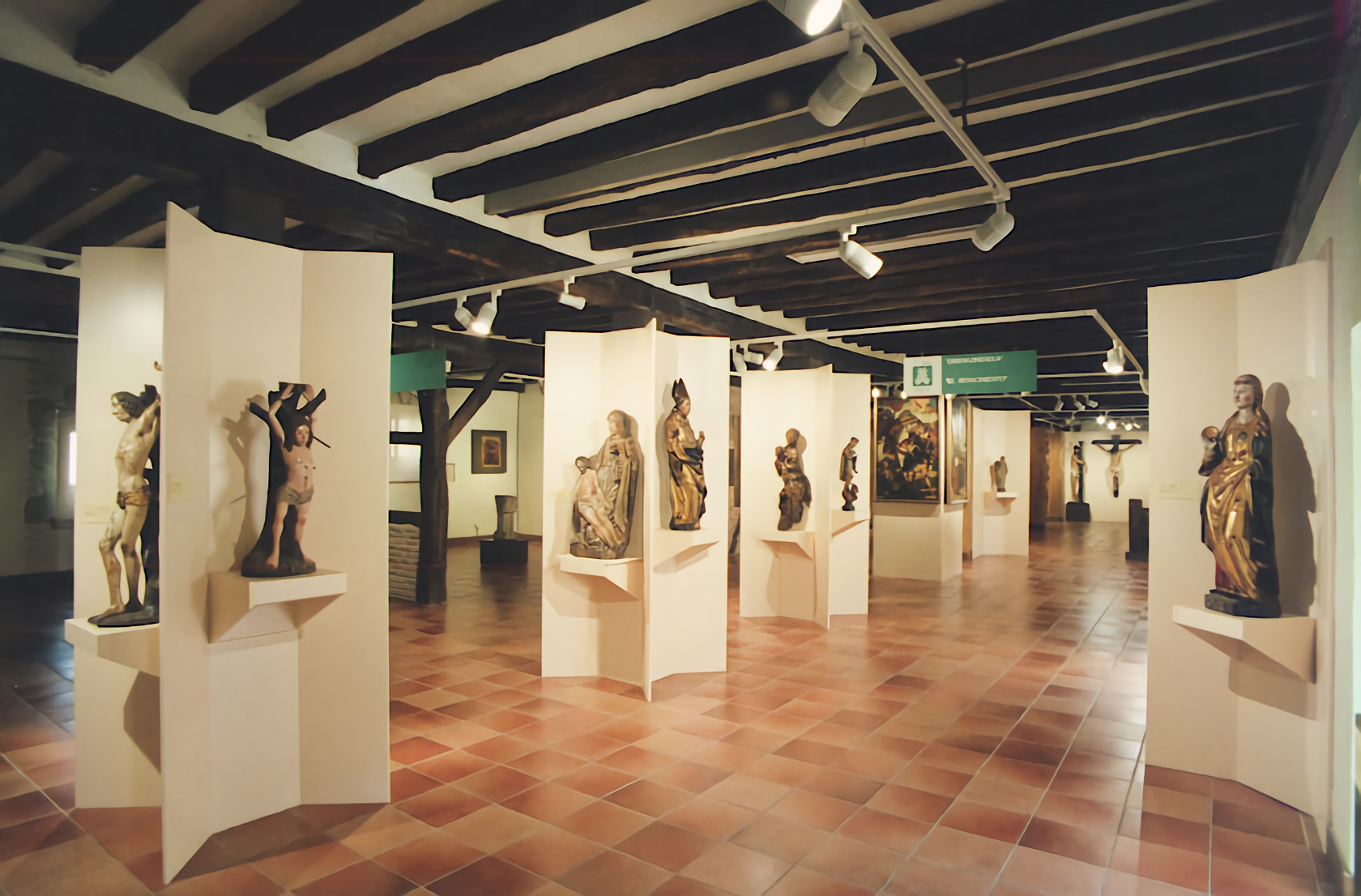
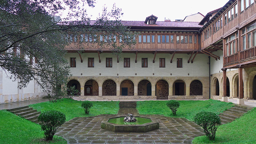
At the bottom of this street on your right is Encarnación square (3), where you will see the church and convent of that name. They date from the fourteenth and fifteenth centuries and the old convent now houses the Museum of Sacred Art of Bizkaia (Spanish). The square has been partly pedestrianised and has been turned into a very pleasant spot.
Ollerías school

La Encarnación
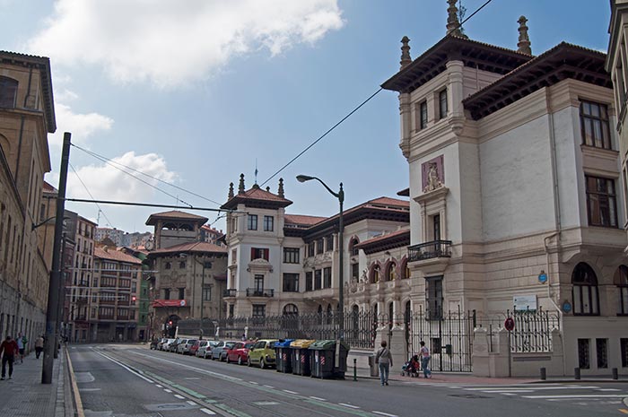
ATXURI STATION

Atxuri station


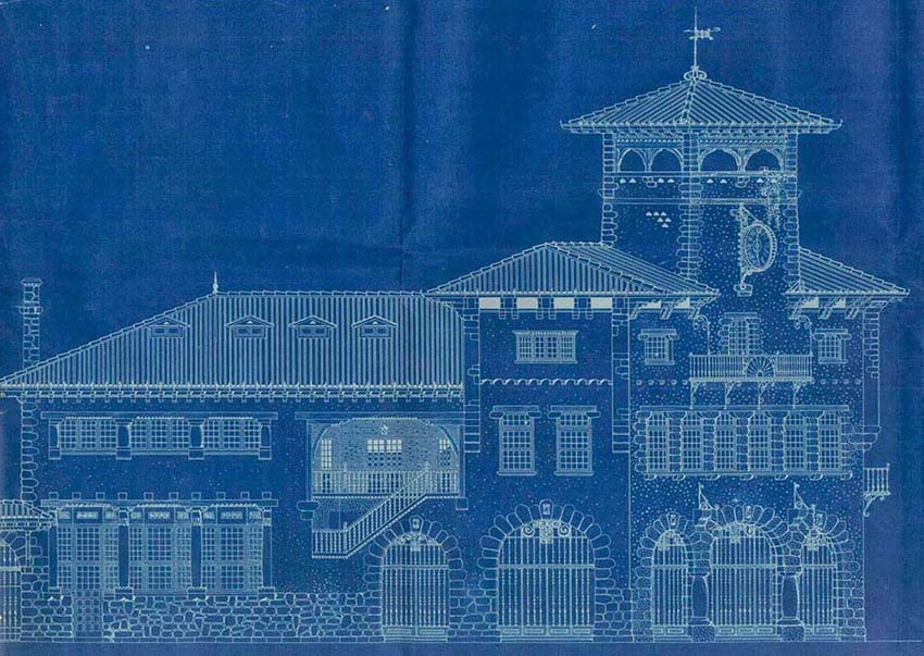


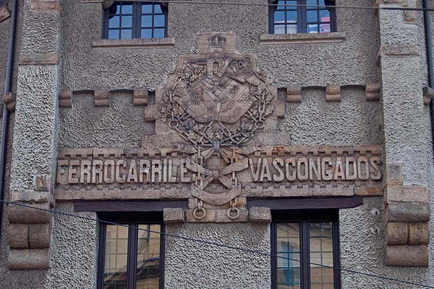
At the entrance to the station, above the name of the former operator, Ferrocarriles Vascongados (Basque Railways), there is a set of shields combining the coat of arms of Bizkaia and Gipuzkoa, entwined with the arms of Alava and the chains from the coat of arms of Navarra.
The neighbourhood where it is located, Atxuri (white rock in Basque), was a suburb beyond the city walls in medieval Bilbao.
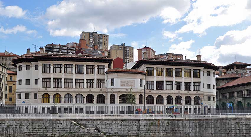
Next to the station is the García Rivero Public School (5) also designed by Pedro Ispizua in the regionalist style in 1928.
Opposite is the imposing building which was built in 1835 along neoclassical lines and which housed the Hospital of Bilbao (6) until 1908. It boasted the most advanced hygiene of the time and went by the motto "You who are sick and groan in poverty here shall find attentive care". Since then, it has been used for the teaching of different specialties, cohabiting with the Museum of Fine Arts between 1914 and 1945.
García Rivero Public School


Old Hospital of Bilbao


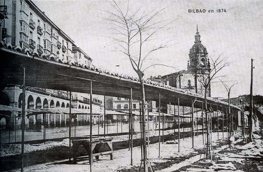
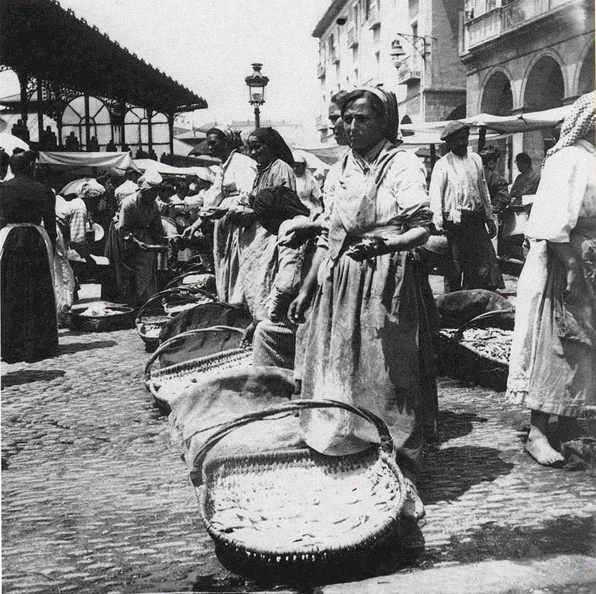
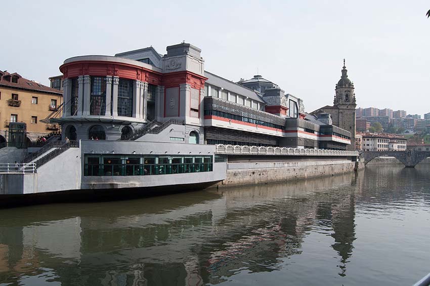
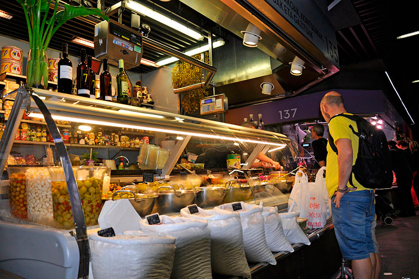
LA RIBERA MARKET
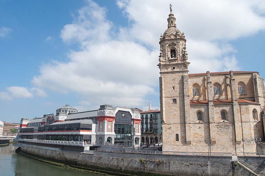
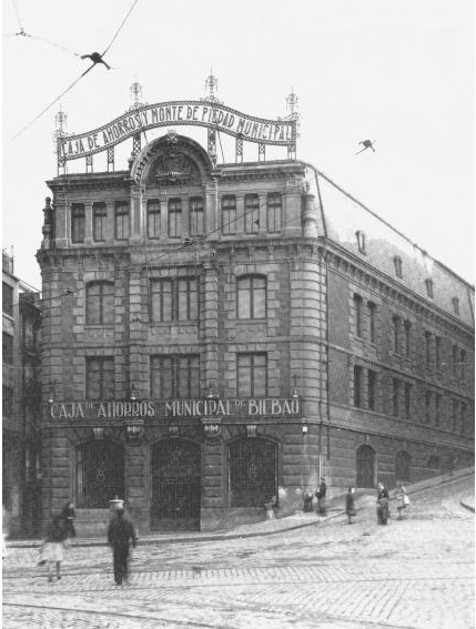
Continuing along the same street we see the bridge of San Anton and its Church, which was for centuries the entrance to the medieval city. Opposite them is the building that housed the first Caja de Ahorros Savings Bank and Monte de Piedad pawnbroking charity, dating from 1907.
It is the largest covered market in Europe
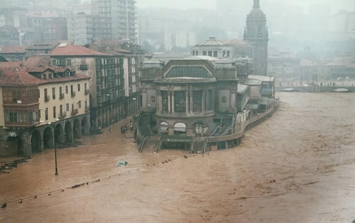
And next to them is the Ribera Market, with 10,000 m2 dedicated to natural products, making it the largest covered market in Europe (7). It is also by Pedro Ispizua, opened in 1929 and now recently restored. The project, which sought functionality, is based on open spaces without internal columns, with good ventilation to prevent undesirable smells and with careful natural lighting. Translucent materials are used to allow daylight to flood down from one floor to another and there are large windows, lattices and rosettes. All this, together with the decoration of its facades, forms an eclectic Art Deco style.
The site it occupies was for centuries the heart of the town and came to replace the roadside stalls that sold produce to the citizens.


